
罗溪镇 topographic map
Interactive map
Click on the map to display elevation.
About this map
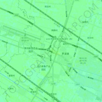
Name: 罗溪镇 topographic map, elevation, terrain.
Location: 罗溪镇, Xinbei District, Changzhou, Jiangsu, 213000, China (31.86604 119.76213 31.94604 119.84213)
Average elevation: 8 m
Minimum elevation: 3 m
Maximum elevation: 10 m