
Broomfield topographic map
Interactive map
Click on the map to display elevation.
About this map
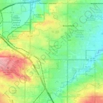
Name: Broomfield topographic map, elevation, terrain.
Average elevation: 1,633 m
Minimum elevation: 1,584 m
Maximum elevation: 1,720 m
Other topographic maps
Click on a map to view its topography, its elevation and its terrain.
Interlocken East Park
United States > Colorado > City and County of Broomfield > Broomfield
Interlocken East Park, Broomfield, City and County of Broomfield, Colorado, 80021, United States
Average elevation: 1,669 m