
Mathon topographic map
Interactive map
Click on the map to display elevation.
About this map
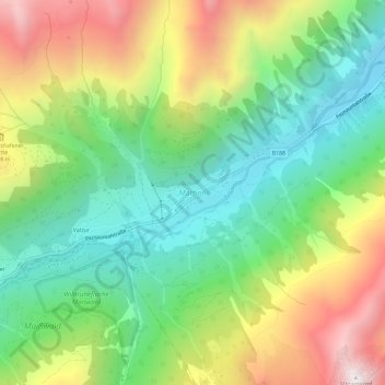
Name: Mathon topographic map, elevation, terrain.
Location: Mathon, Gemeinde Ischgl, Bezirk Landeck, Tyrol, 6562, Austria (46.96900 10.22500 47.00900 10.26500)
Average elevation: 1,892 m
Minimum elevation: 1,375 m
Maximum elevation: 2,716 m