
Isreal Village topographic map
Interactive map
Click on the map to display elevation.
About this map
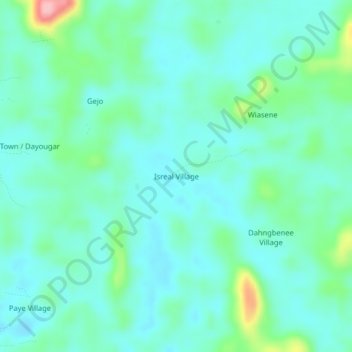
Name: Isreal Village topographic map, elevation, terrain.
Location: Isreal Village, District # 3, Grand Bassa County, Liberia (6.27134 -9.54402 6.31134 -9.50402)
Average elevation: 197 m
Minimum elevation: 168 m
Maximum elevation: 312 m