
Dungannon topographic map
Interactive map
Click on the map to display elevation.
About this map
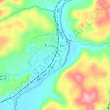
Name: Dungannon topographic map, elevation, terrain.
Location: Dungannon, Scott County, Virginia, 24245, United States (36.82221 -82.47429 36.83407 -82.46193)
Average elevation: 447 m
Minimum elevation: 387 m
Maximum elevation: 547 m