
Lövstabruk topographic map
Interactive map
Click on the map to display elevation.
About this map
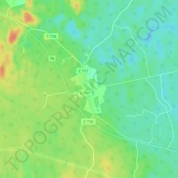
Name: Lövstabruk topographic map, elevation, terrain.
Location: Lövstabruk, Tierps kommun, Uppsala County, 819 66, Sweden (60.38879 17.85956 60.42879 17.89956)
Average elevation: 22 m
Minimum elevation: 8 m
Maximum elevation: 47 m
Other topographic maps
Click on a map to view its topography, its elevation and its terrain.