
Currie topographic map
Interactive map
Click on the map to display elevation.
About this map
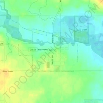
Name: Currie topographic map, elevation, terrain.
Location: Currie, Murray County, Minnesota, United States (44.06565 -95.67846 44.07608 -95.65692)
Average elevation: 461 m
Minimum elevation: 449 m
Maximum elevation: 476 m