
Salalah topographic map
Interactive map
Click on the map to display elevation.
About this map
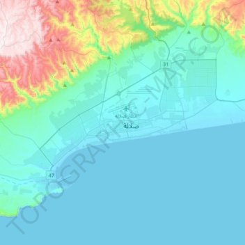
Name: Salalah topographic map, elevation, terrain.
Location: Salalah, Dhofar, 18149, Oman (16.86094 53.92943 17.18094 54.24943)
Average elevation: 156 m
Minimum elevation: -1 m
Maximum elevation: 988 m