
Clarkston topographic map
Interactive map
Click on the map to display elevation.
About this map
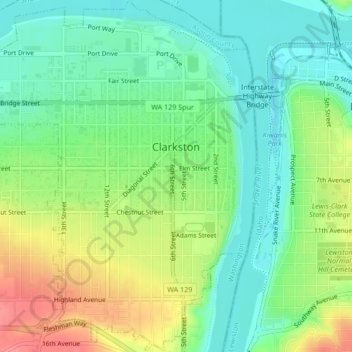
Name: Clarkston topographic map, elevation, terrain.
Location: Clarkston, Asotin County, Washington, United States (46.39934 -117.06926 46.42835 -117.03547)
Average elevation: 246 m
Minimum elevation: 218 m
Maximum elevation: 292 m