
Sheridan topographic map
Interactive map
Click on the map to display elevation.
About this map
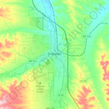
Name: Sheridan topographic map, elevation, terrain.
Location: Sheridan, Sheridan County, Wyoming, 82801, United States (44.73916 -107.02448 44.85363 -106.91352)
Average elevation: 1,197 m
Minimum elevation: 1,119 m
Maximum elevation: 1,357 m