
Davidstow Moor topographic map
Interactive map
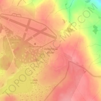
Click on the map to display elevation.
About this map
Name: Davidstow Moor topographic map, elevation, terrain.
Average elevation: 284 m
Minimum elevation: 219 m
Maximum elevation: 307 m
Other topographic maps
Click on a map to view its topography, its elevation and its terrain.
Davidstow
United Kingdom > England > Davidstow
Davidstow, Cornwall, South West England, England, PL32 9XT, United Kingdom
Average elevation: 269 m