
Daejeon topographic map
Interactive map
Click on the map to display elevation.
About this map
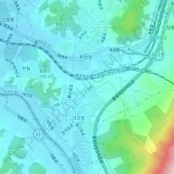
Name: Daejeon topographic map, elevation, terrain.
Location: Panam-dong, Dong-gu, Daejeon, South Korea (36.29964 127.44686 36.32528 127.48129)
Average elevation: 117 m
Minimum elevation: 59 m
Maximum elevation: 458 m