
Tall Jadhah topographic map
Interactive map
Click on the map to display elevation.
About this map
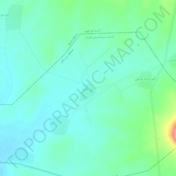
Name: Tall Jadhah topographic map, elevation, terrain.
Location: Tall Jadhah, Dayr Hafir District, Aleppo, Syria (36.23791 37.81795 36.27791 37.85795)
Average elevation: 410 m
Minimum elevation: 388 m
Maximum elevation: 487 m