
McGrath topographic map
Interactive map
Click on the map to display elevation.
About this map
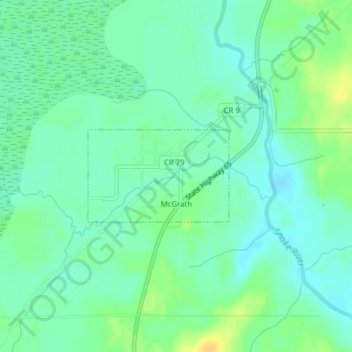
Name: McGrath topographic map, elevation, terrain.
Location: McGrath, Aitkin County, Minnesota, United States (46.23852 -93.28275 46.24582 -93.26699)
Average elevation: 379 m
Minimum elevation: 370 m
Maximum elevation: 396 m