
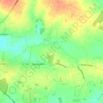
Carbrooke topographic map
Interactive map
Click on the map to display elevation.
About this map
Name: Carbrooke topographic map, elevation, terrain.
Location: Carbrooke, Breckland District, Norfolk, England, United Kingdom (52.55187 0.84970 52.60123 0.91474)
Average elevation: 57 m
Minimum elevation: 37 m
Maximum elevation: 79 m
Norfolk trails, hiking, mountain biking, running and outdoor activities
Other topographic maps
Click on a map to view its topography, its elevation and its terrain.
Saham Hills
United Kingdom > England > Norfolk > Breckland District > Saham Toney
Average elevation: 61 m
Dam Green
United Kingdom > England > Norfolk > Breckland District > Kenninghall
Average elevation: 46 m
Thorpe Row
United Kingdom > England > Norfolk > Breckland District > Thorpe Row
Average elevation: 69 m
Southburgh
United Kingdom > England > Norfolk > Breckland District > Cranworth > Southburgh
Average elevation: 55 m
Stonebridge
United Kingdom > England > Norfolk > Breckland District > East Wretham
Average elevation: 38 m