
Field topographic map
Interactive map
Click on the map to display elevation.
About this map
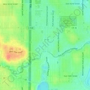
Name: Field topographic map, elevation, terrain.
Average elevation: 263 m
Minimum elevation: 245 m
Maximum elevation: 289 m
Other topographic maps
Click on a map to view its topography, its elevation and its terrain.
Saint Anthony Falls
United States > Minnesota > Minneapolis
Saint Anthony Falls, Minneapolis, Hennepin County, Minnesota, 55415, United States
Average elevation: 256 m