
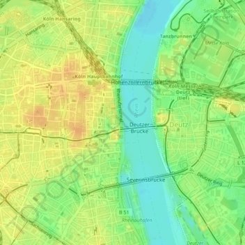
Pegel Köln (km 686) topographic map
Interactive map
Click on the map to display elevation.
About this map
Name: Pegel Köln (km 686) topographic map, elevation, terrain.
Average elevation: 51 m
Minimum elevation: 34 m
Maximum elevation: 65 m
Other topographic maps
Click on a map to view its topography, its elevation and its terrain.
Lindenthal
Germany > North Rhine-Westphalia > Cologne
Lindenthal, Cologne, North Rhine-Westphalia, Germany
Average elevation: 58 m
Rheinpark
Germany > North Rhine-Westphalia > Cologne
Rheinpark, Deutz, Innenstadt, Cologne, North Rhine-Westphalia, 50679, Germany
Average elevation: 48 m
Innenstadt
Germany > North Rhine-Westphalia > Cologne > Höningen
Innenstadt, Cologne, Höningen, North Rhine-Westphalia, Germany
Average elevation: 54 m
Rodenkirchen
Germany > North Rhine-Westphalia > Cologne > Höningen
Rodenkirchen, Höningen, Cologne, North Rhine-Westphalia, 50997, Germany
Average elevation: 54 m