
Poggersdorf topographic map
Interactive map
Click on the map to display elevation.
About this map
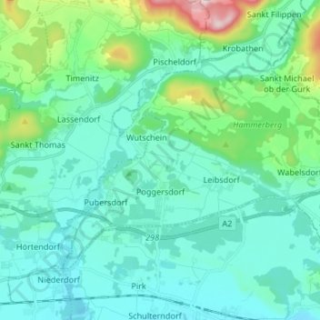
Name: Poggersdorf topographic map, elevation, terrain.
Location: Poggersdorf, Klagenfurt-Land, Carinthia, 9130, Austria (46.62871 14.41019 46.69115 14.54287)
Average elevation: 486 m
Minimum elevation: 404 m
Maximum elevation: 881 m