
Dera topographic map
Interactive map
Click on the map to display elevation.
About this map
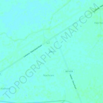
Name: Dera topographic map, elevation, terrain.
Location: Dera, Lārkāna District, Sindh, Pakistan (27.38974 67.95597 27.42974 67.99597)
Average elevation: 47 m
Minimum elevation: 45 m
Maximum elevation: 50 m