
Bruh Village topographic map
Interactive map
Click on the map to display elevation.
About this map
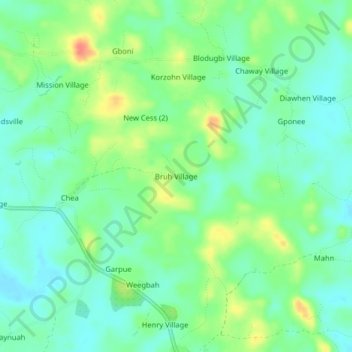
Name: Bruh Village topographic map, elevation, terrain.
Location: Bruh Village, Neekreen, Grand Bassa County, Liberia (5.85706 -9.96651 5.89706 -9.92651)
Average elevation: 28 m
Minimum elevation: 10 m
Maximum elevation: 64 m