
Harrold topographic map
Interactive map
Click on the map to display elevation.
About this map
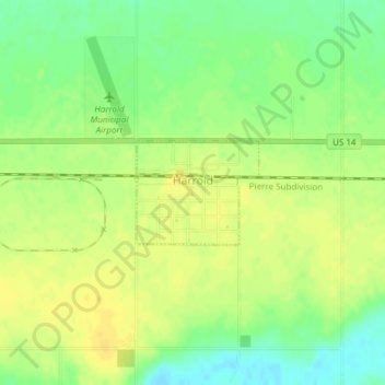
Name: Harrold topographic map, elevation, terrain.
Location: Harrold, Hughes County, South Dakota, United States (44.51966 -99.74471 44.52700 -99.73265)
Average elevation: 545 m
Minimum elevation: 531 m
Maximum elevation: 554 m