
Kousseri topographic map
Interactive map
Click on the map to display elevation.
About this map
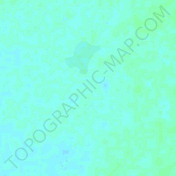
Name: Kousseri topographic map, elevation, terrain.
Location: Kousseri, Batha, Chad (13.27305 19.01558 13.31305 19.05558)
Average elevation: 358 m
Minimum elevation: 355 m
Maximum elevation: 361 m