
Sieper topographic map
Interactive map
Click on the map to display elevation.
About this map
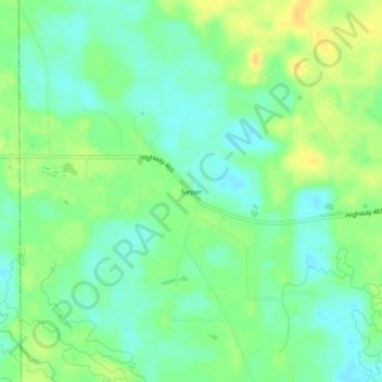
Name: Sieper topographic map, elevation, terrain.
Location: Sieper, Rapides Parish, Louisiana, 71472, United States (31.19102 -92.82821 31.23102 -92.78821)
Average elevation: 54 m
Minimum elevation: 43 m
Maximum elevation: 68 m