
Baruth/Mark topographic map
Interactive map
Click on the map to display elevation.
About this map
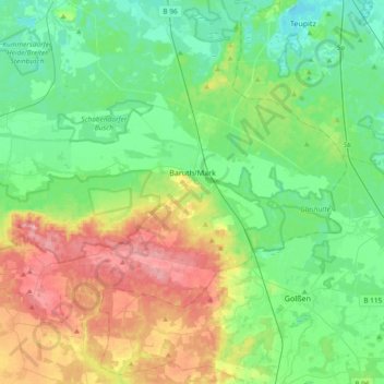
Name: Baruth/Mark topographic map, elevation, terrain.
Location: Baruth/Mark, Teltow-Fläming, Brandenburg, Germany (51.95668 13.27858 52.11283 13.65287)
Average elevation: 75 m
Minimum elevation: 31 m
Maximum elevation: 172 m