
Kniveton topographic map
Interactive map
Click on the map to display elevation.
About this map
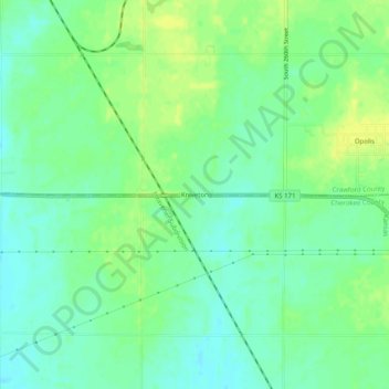
Name: Kniveton topographic map, elevation, terrain.
Location: Kniveton, Crawford County, Kansas, 66760, United States (37.31839 -94.66329 37.35839 -94.62329)
Average elevation: 276 m
Minimum elevation: 267 m
Maximum elevation: 287 m