Geolocate

Kalabo topographic map

Interactive map

Click on the map to display elevation.

About this map

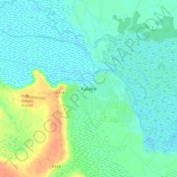
Name: Kalabo topographic map, elevation, terrain.

Location: Kalabo, Kalabo District, Western Province, Zambia (-15.03504 22.63455 -14.95504 22.71455)

Average elevation: 1,027 m

Minimum elevation: 1,016 m

Maximum elevation: 1,057 m

Other topographic maps

Click on a map to view its topography, its elevation and its terrain.

Ngonye Falls

Zambia > Western Province

Ngonye Falls, Sioma District, Western Province, Zambia

Average elevation: 985 m

Ngonye Falls

Zambia > Western Province

Ngonye Falls, Sioma District, Western Province, Zambia

Average elevation: 985 m

Lukulu

Zambia > Western Province > Lukulu

Lukulu, Lukulu District, Western Province, Zambia

Average elevation: 1,041 m

Kaoma

Zambia > Western Province

Kaoma, Kaoma District, Western Province, Zambia

Average elevation: 1,160 m

Mongu

Zambia > Western Province

Mongu, Mongu District, Western Province, Zambia

Average elevation: 1,037 m