
Richmond Vale topographic map
Interactive map
Click on the map to display elevation.
About this map
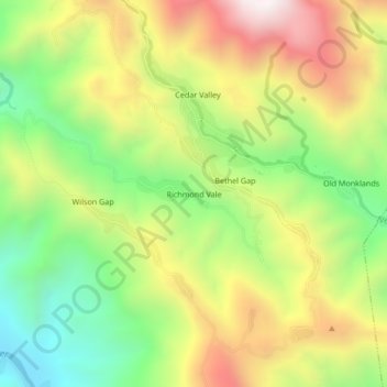
Name: Richmond Vale topographic map, elevation, terrain.
Location: Richmond Vale, Saint Thomas, Surrey County, Jamaika (17.96528 -76.60718 18.00528 -76.56718)
Average elevation: 633 m
Minimum elevation: 164 m
Maximum elevation: 1,194 m