
Brightling topographic map
Interactive map
Click on the map to display elevation.
About this map
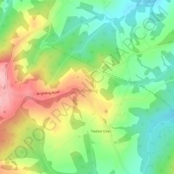
Name: Brightling topographic map, elevation, terrain.
Location: Brightling, East Sussex, South East, England, United Kingdom (50.96221 0.39347 50.96672 0.40155)
Average elevation: 110 m
Minimum elevation: 48 m
Maximum elevation: 196 m
England trails, hiking, mountain biking, running and outdoor activities