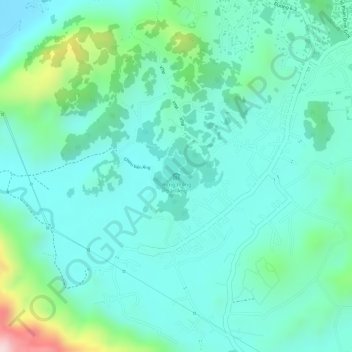
Rừng thông bản Áng topographic map
Interactive map
Click on the map to display elevation.
About this map
Name: Rừng thông bản Áng topographic map, elevation, terrain.
Average elevation: 833 m
Minimum elevation: 762 m
Maximum elevation: 1,066 m

Click on the map to display elevation.
Name: Rừng thông bản Áng topographic map, elevation, terrain.
Average elevation: 833 m
Minimum elevation: 762 m
Maximum elevation: 1,066 m