
Athol topographic map
Interactive map
Click on the map to display elevation.
About this map
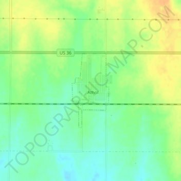
Name: Athol topographic map, elevation, terrain.
Location: Athol, Smith County, Kansas, United States (39.75976 -98.92355 39.77083 -98.91644)
Average elevation: 548 m
Minimum elevation: 533 m
Maximum elevation: 565 m