
Casso topographic map
Interactive map
Click on the map to display elevation.
About this map
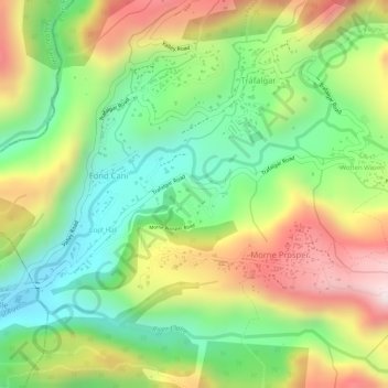
Name: Casso topographic map, elevation, terrain.
Location: Casso, Fond Cani, Saint George Parish, 00109-800, Dominica (15.30576 -61.36142 15.32576 -61.34142)
Average elevation: 272 m
Minimum elevation: 62 m
Maximum elevation: 527 m