
Iola topographic map
Interactive map
Click on the map to display elevation.
About this map
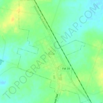
Name: Iola topographic map, elevation, terrain.
Location: Iola, Grimes County, Texas, United States (30.75814 -96.08633 30.78547 -96.06421)
Average elevation: 101 m
Minimum elevation: 90 m
Maximum elevation: 115 m