
Tunja topographic map
Interactive map
Click on the map to display elevation.
Tunja
Tunja has a population of 172,548 inhabitants according to the 2018 Census. 0.1% of the city is indigenous, 0.4% is black, and 99.5% is white and Mestizo. It is located in central Colombia. The city centre is at an elevation of 2,820 metres (9,250 ft) above sea level.
About this map
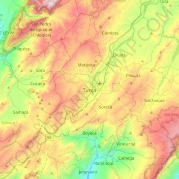
Name: Tunja topographic map, elevation, terrain.
Average elevation: 2,824 m
Minimum elevation: 2,053 m
Maximum elevation: 3,790 m