
Aral topographic map
Interactive map
Click on the map to display elevation.
About this map
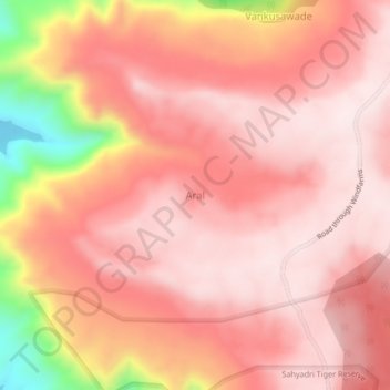
Name: Aral topographic map, elevation, terrain.
Location: Aral, Patan, Satara, Maharashtra, India (17.47976 73.80208 17.51976 73.84208)
Average elevation: 1,003 m
Minimum elevation: 640 m
Maximum elevation: 1,127 m