
Oare topographic map
Interactive map
Click on the map to display elevation.
About this map
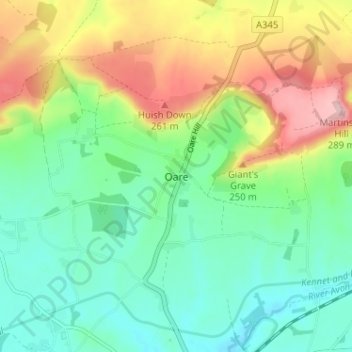
Name: Oare topographic map, elevation, terrain.
Average elevation: 177 m
Minimum elevation: 113 m
Maximum elevation: 295 m
Other topographic maps
Click on a map to view its topography, its elevation and its terrain.
Oare
United Kingdom > England > Oare
Oare, Kent, South East, England, ME13 0QE, United Kingdom
Average elevation: 9 m