
Gays Mills topographic map
Interactive map
Click on the map to display elevation.
About this map
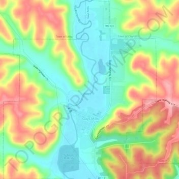
Name: Gays Mills topographic map, elevation, terrain.
Location: Gays Mills, Crawford County, Wisconsin, United States (43.30320 -90.87269 43.34501 -90.82326)
Average elevation: 272 m
Minimum elevation: 207 m
Maximum elevation: 359 m
Other topographic maps
Click on a map to view its topography, its elevation and its terrain.