
Wortel topographic map
Interactive map
Click on the map to display elevation.
About this map
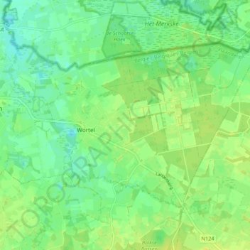
Name: Wortel topographic map, elevation, terrain.
Location: Wortel, Hoogstraten, Antwerp, Flanders, 2323, Belgium (51.38104 4.76914 51.41462 4.85090)
Average elevation: 19 m
Minimum elevation: 10 m
Maximum elevation: 26 m