
Kampung Ulu Legong topographic map
Interactive map
Click on the map to display elevation.
About this map
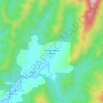
Name: Kampung Ulu Legong topographic map, elevation, terrain.
Location: Kampung Ulu Legong, Baling, Kedah, Malaysia (5.79889 100.91535 5.83889 100.95535)
Average elevation: 246 m
Minimum elevation: 101 m
Maximum elevation: 599 m