
Corinda topographic map
Interactive map
Click on the map to display elevation.
About this map
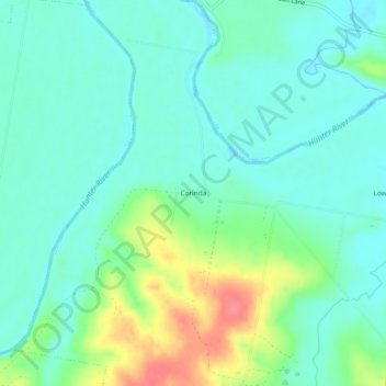
Name: Corinda topographic map, elevation, terrain.
Location: Corinda, Singleton Council, New South Wales, Australia (-32.62667 151.24778 -32.58667 151.28778)
Average elevation: 42 m
Minimum elevation: 21 m
Maximum elevation: 96 m