
Whitehouse topographic map
Interactive map
Click on the map to display elevation.
About this map
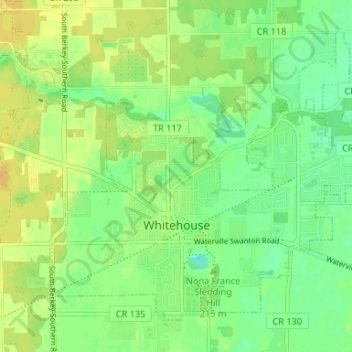
Name: Whitehouse topographic map, elevation, terrain.
Location: Whitehouse, Lucas County, Ohio, 43571, United States (41.50562 -83.82732 41.54611 -83.76129)
Average elevation: 200 m
Minimum elevation: 188 m
Maximum elevation: 212 m