
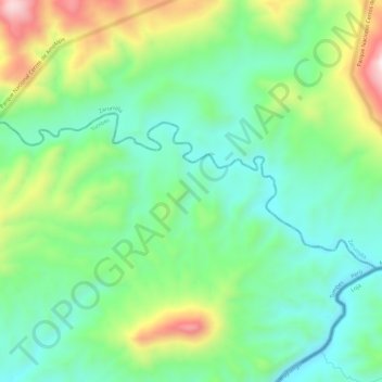
Río Tumbes topographic map
Interactive map
Click on the map to display elevation.
About this map
Name: Río Tumbes topographic map, elevation, terrain.
Average elevation: 422 m
Minimum elevation: 228 m
Maximum elevation: 828 m
Other topographic maps
Click on a map to view its topography, its elevation and its terrain.
Río Tumbes
Peru > Tumbes > Pampas de Hospital
Río Tumbes, Pampas de Hospital, Province of Tumbes, Tumbes, Peru
Average elevation: 524 m