
Red Oak topographic map
Interactive map
Click on the map to display elevation.
About this map
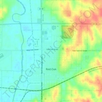
Name: Red Oak topographic map, elevation, terrain.
Location: Red Oak, Montgomery County, Iowa, 51566, United States (40.99769 -95.24637 41.03441 -95.20430)
Average elevation: 329 m
Minimum elevation: 308 m
Maximum elevation: 365 m