
Pokhara Lekhnath Metropolitan Ward No. 19 topographic map
Interactive map
Click on the map to display elevation.
About this map
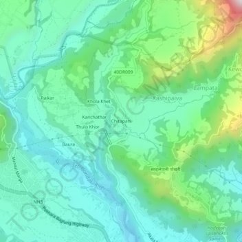
Name: Pokhara Lekhnath Metropolitan Ward No. 19 topographic map, elevation, terrain.
Average elevation: 1,159 m
Minimum elevation: 952 m
Maximum elevation: 1,822 m