
Mukim Tanjong Maya topographic map
Interactive map
Click on the map to display elevation.
About this map
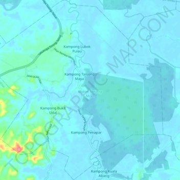
Name: Mukim Tanjong Maya topographic map, elevation, terrain.
Location: Mukim Tanjong Maya, Tutong District, Brunei (4.69318 114.61354 4.79018 114.71017)
Average elevation: 8 m
Minimum elevation: 1 m
Maximum elevation: 95 m
Other topographic maps
Click on a map to view its topography, its elevation and its terrain.