
Velsen topographic map
Interactive map
Click on the map to display elevation.
Velsen
Dutch topographic map of the municipality of Velsen, June 2015
About this map
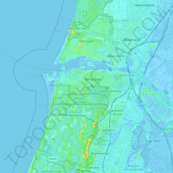
Name: Velsen topographic map, elevation, terrain.
Location: Velsen, North Holland, Netherlands (52.41082 4.51755 52.49274 4.72198)
Average elevation: 3 m
Minimum elevation: -6 m
Maximum elevation: 48 m
Other topographic maps
Click on a map to view its topography, its elevation and its terrain.