
Belcher topographic map
Interactive map
Click on the map to display elevation.
About this map
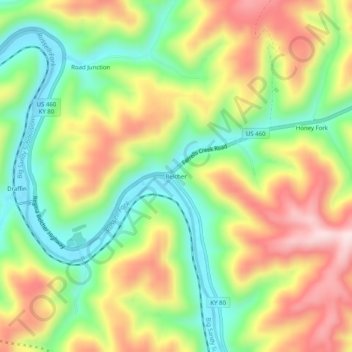
Name: Belcher topographic map, elevation, terrain.
Location: Belcher, Pike County, Kentucky, 41513, United States (37.32177 -82.39348 37.36177 -82.35348)
Average elevation: 371 m
Minimum elevation: 211 m
Maximum elevation: 567 m