
Catesby topographic map
Interactive map
Click on the map to display elevation.
About this map
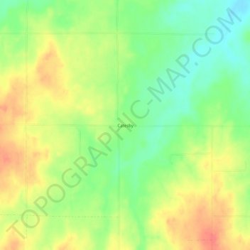
Name: Catesby topographic map, elevation, terrain.
Location: Catesby, Ellis County, Oklahoma, United States (36.47309 -99.98290 36.51309 -99.94290)
Average elevation: 735 m
Minimum elevation: 707 m
Maximum elevation: 764 m