
Sylvania topographic map
Interactive map
Click on the map to display elevation.
Sylvania
According to the United States Census Bureau, the city has a total area of 3.8 square miles (9.8 km2), all land. Sylvania's elevation is 230 feet and is slightly higher than most of the land throughout Screven County.
About this map
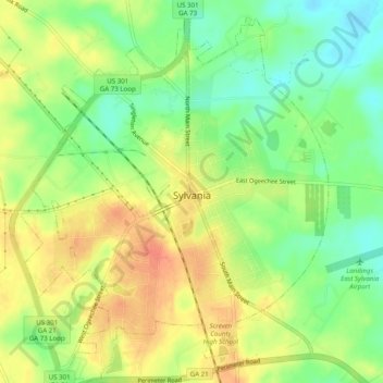
Name: Sylvania topographic map, elevation, terrain.
Location: Sylvania, Screven County, Georgia, 30467, United States (32.73009 -81.65884 32.77161 -81.61907)
Average elevation: 60 m
Minimum elevation: 37 m
Maximum elevation: 81 m