
Rangsang topographic map
Interactive map
Click on the map to display elevation.
About this map
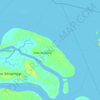
Name: Rangsang topographic map, elevation, terrain.
Location: Rangsang, Kepulauan Meranti, Riau, Sumatra, Indonesia (0.67703 102.78062 1.34542 103.24873)
Average elevation: 3 m
Minimum elevation: -1 m
Maximum elevation: 61 m