
Pines Island topographic map
Interactive map
Click on the map to display elevation.
About this map
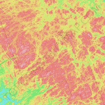
Name: Pines Island topographic map, elevation, terrain.
Average elevation: 444 m
Minimum elevation: 312 m
Maximum elevation: 573 m
Other topographic maps
Click on a map to view its topography, its elevation and its terrain.
Bishop Lake
Canada > Ontario > Unorganized South Nipissing
Bishop Lake, Unorganized South Nipissing, Nipissing District, Northeastern Ontario, Ontario, Canada
Average elevation: 446 m